FAA Part 107 · Insured · Northeast Ohio
Altitude changes
everything you
can show.
Ascent Imagery flies for the people who need the shot to actually work — listings that move, sites that get documented, structures that get inspected without a single foot on a ladder.
01 Selected work
Frames from the
last six months.
Every project ships graded, colour-matched and delivered in the formats you actually publish in — not a folder of raws.
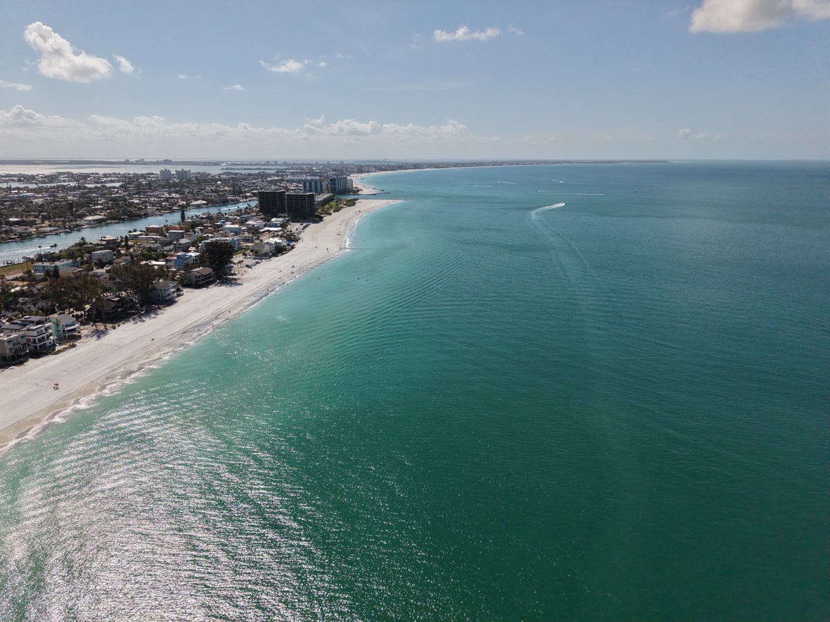
Shoreline Residences
Phase II Earthworks
Warehouse Roof Survey
112-Acre Orthomosaic
Lakefront Festival
Harbour & Marina Survey
Full reel and client references available on request — just ask.
02 Capabilities
What we fly for.
Six core services, one pilot team, one chain of custody from takeoff to final delivery.
-
01
Aerial Photography
High-resolution stills for listings, marketing, insurance documentation and progress records. Colour-graded, straightened, delivered web- and print-ready.
-
02
Cinematic Video
4K/60 HDR capture, 10-bit D-Log M grading and edits cut for the channel they'll live on — hero film, 30-second spot, and vertical cutdowns from the same flight.
-
03
Infrastructure Inspection
Roofs, towers, stacks, bridges and façades surveyed close-range at 50 MP, with a 70 mm tele for detail worth cropping into. No lifts, no scaffold, no one on the edge of anything.
-
04
Mapping & Surveying
Orthomosaics, contour data, volumetrics and 3D meshes flown as photogrammetric grids. Exports drop straight into your CAD or GIS workflow.
-
05
Real Estate & Development
Property packages that sell the parcel, not just the house — boundary context, neighbourhood approach shots and twilight exteriors.
-
06
Events & Sport
Crowd scale, venue context and the establishing shot the ground crew can't get — flown inside the rules, coordinated with your event staff.
03 How it runs
Four steps, no surprises.
- 01
Scope call
Fifteen minutes on the phone. We pin down deliverables, site access and airspace class before anyone quotes a number.
- 02
Flight plan
LAANC authorisation, a weather window, and a shot list you sign off on. You know exactly what's coming back.
- 03
On site
Typically 60–120 minutes. Insured, briefed, and out of your crew's way. We work around active sites, not through them.
- 04
Delivery
Graded and packaged within 48 hours to a private gallery. One round of revisions is included, always.
04 Service area
Based here.
Flown here.
Ten counties inside a 75-kilometre operating radius, with no travel fee inside the ring. Further out is a conversation, not a refusal.
- Cuyahoga
- Summit
- Stark
- Lorain
- Medina
- Portage
- Lake
- Geauga
- Mahoning
- Trumbull
Cleveland · Akron · Canton · Youngstown · Lorain · Elyria · Parma · Warren · Mentor · Medina
05 The studio
Small crew.
Serious kit.
Ascent Imagery is independently owned and operated out of Northeast Ohio. Every flight is planned, flown and edited by the same two people — there's no account manager between you and the pilot holding the controller.
We've spent five years learning what this region does to a flight plan: lake-effect ceilings that close in an hour, Class B shelves over the airports, and winter light that only cooperates between about 3 and 5pm. That knowledge is why our shoots don't get rescheduled twice.
- Certification
- FAA Part 107 Remote Pilot · Current
- Aircraft
- DJI Air 3S · 1" wide + 70 mm tele · 45 min endurance
- Insurance
- $2M liability · COI on request, same day
- Airspace
- LAANC authorised · Class B/C/D experience
- Delivery
- Private gallery · 48-hour standard
06 Get in touch
Tell us what you
need to show.
Quotes come back within one business day, with a fixed price and a date — not a range.
- Phone(330) 555-0199
- Emailhello@ascentimagery.com
- HoursMon–Sat · 7am – 7pm
- BaseNortheast Ohio · 41.25°N 81.50°W